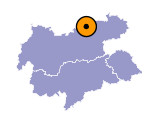
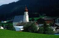
Image collection »Achenkirch«
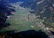
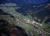
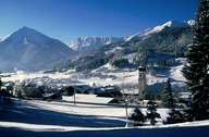
Achenkirch extends from the northern end of Lake Achen along the Achen Valley to the Bavarian boarder. In 1313 the village was called Achental in a document and only in 1971 it was given its present name. Achenkirch encompasses a centre where a number of traditional farmhouses still can be found, new developments, groups of houses and scattered settlements with isolated farmhouses. In former times timber industry was a main source of income for the local population. Today there are several commercial enterprises, a flourishing farming sector and overall tourism with Lake Achen and the skiing area of Christlum which contribute to the income of Achenkirch.
|
|
|
|
|
|
