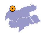
Image collection »Breitenwang«
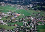
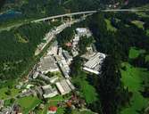
The village of Breitenwang consists of the settlements of Breitenwang, Lähn, Mühl and Neumühl, which partly have formed an agglomeration with Reutte, the district capital. Because of the proximity, Breitenwang's infrastructure is closely linked with the one of Reutte. Since the establishment of the Plansee Metalwork in 1921 the hamlet of Mühl - east of Breitenwang - has grown significantly. The Plansee Metalwork, one of the world's leading companies for powder metallurgy (2000 out of 5000 employees work in this sector), has an important impact on the socioeconomic development of the region. Breitenwang, a typical scattered village, is dominated by the church with its striking church steeple. Breitenwang with the deanery is the spiritual centre of the political district of Reutte.
|
|
|
|
|
|
