Image collection »Reutte«
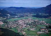
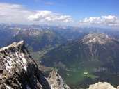
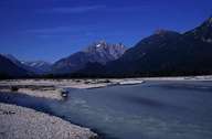
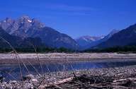
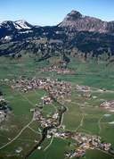
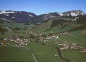
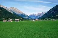
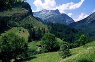
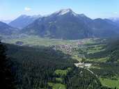
The district of Reutte has the smallest population in Tyrol. It includes the Außerfern, the Tannheimer Tal, Zwischentoren and the broad Reuttener Becken and is only connected to the rest of the province over the Fernpass and Hahntennjoch. As it is open to the north and has a close relationship to Bavaria, the cultural influences from the south German region are very strong. The Alemannic character of the people is a result of the relatively late settlement of the Außerfern from Swabia and the annexation of Reutte to the Tyrol which only took place at the end of the 13th century. The settlements in the district, mostly cluster villages or ribbon villages with small hamlets, are located mainly on the valley floor and on alluvial fans. Due to the climatic conditions with high rainfall farming concentrates mainly on cattle breeding and dairy farming. Only an increase in tourism in the Lechtal as an area for excursions and hiking and the numerous lakes as well as the establishment of industrial firms has made an economic upswing possible. Worth mentioning in this context are above all the Planseewerke near Breitenwang, kdg Mediatech in Elbigenalp and the Schretter & Cie cement works in Vils.
|

|
|
|
|
|
|

|
|
|
|
|
|
|