Image collection »Matrei i.O.«
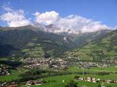
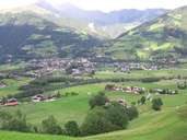
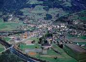
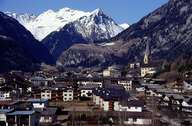
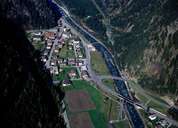
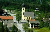
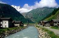
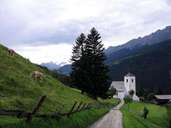
Matei in Osttirol is the second largest village in the Tyrol and encompasses the entire catching area of the Tauern River and the Iseltal south of Matrei till Huben. Huben, due to its geographical position at the junction to the Defereggen- and Kalsertal and since the building of the Felbertauernstraße Road, has become a traffic centre and has undergone substantial changes. The market town of Matrei with its compact centre and the striking parish church on the fan of the Bretterwand Torrent is the centre of the entire Iseltal. Extensive protecting walls indicate the hazards caused by this wild river. The settlement of Matrei is characterized by numerous scattered isolated farmhouses, hamlets and small villages in the valley and on the slopes up to 1500 m above sea level.
|
|
|
|
|
|
|
|
|
|