Image collection »Lienz«
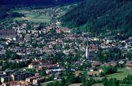
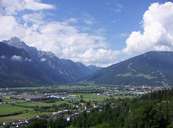
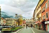
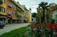
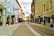
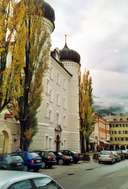
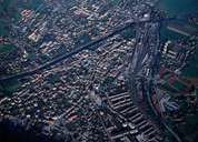
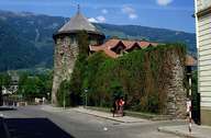
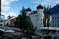
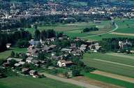
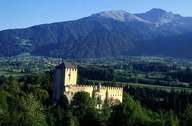
Lienz, one of the largest political district capitals in the Tyrol, is situated in the Lienzer Basin at the confluence of the rivers Isel and Drau. In contrast to the gentle forms of the central-Alps the landscape is dominated by the rocky Lienzer Dolomites. Lienz was founded by the Counts of Görtz and is characterized by its squares: Central Square with Lienz's symbol Castle Liebburg, Johannesplatz square and Rindermarkt square north of the Isel River. The territorial isolation of Eastern Tyrol from the rest of the province since 1919, has led to a strengthening of Lienz's position as regional centre. The important Felbertauern Road was an advantage for the development of new industrial centres and tourism (Zettersfeld skiing area) in the region.
|
|
|
|
|
|
|
|
|
|
|
|