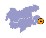
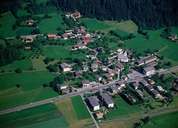
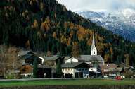
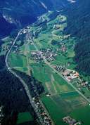
Image collection »Leisach«
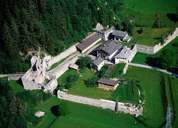
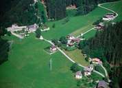
Leisach in the south-western Lienzer Basin is situated along the main road into the Pustertal. The former Lienzer Klause and the hamlet of Burgfrieden are situated at a narrow part of the Drautal. The scattered village of Leisach is located on a small fan that forced the river Drau north, only three kilometres away from Lienz. New settlements, such as Leisach-Gries south of the centre, have developed due to the proximity to Lienz in the second half of the 20th century.
|
|
|
|
|
|
