Image collection »Innervillgraten«
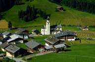
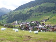
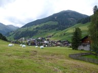
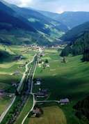
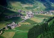
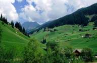
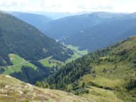
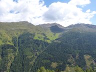
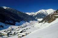
Innervillgraten is situated at a wider part of the Villgratental. Originally a scattered village, a small centre has evolved around the parish church. On the sunny slopes the impressive detached farmhouses with their roof ridges facing the valley can be found up to an elevation of 1700 m, whereas on the other (shadowy) side only a few farms reach 1450 m. The hamlet of Kalkstein with its church lies on an altitude above 1640 m. There are several villages surrounded by alpine pasture lands, such as Unter- and Oberstaller Alm. Innervillgraten's economy relies heavily on agriculture. Special marketing for their agricultural goods and their own wool mill help to sell local products.
|
|
|
|
|
|
|
|
|
|
|