Image collection »Dölsach«
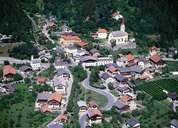
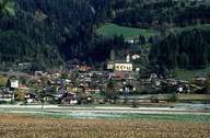
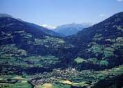
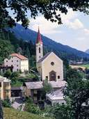
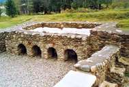
Dölsach is situated on the eastern edge of the Lienzer Basin. The village consists of the centre of Dölsach along the Drautalstrasse Road, isolated detached farmhouses and of smaller and larger scattered villages on the fan of the Dorf Torrent and on the sunny slopes. The names of the villages Göriach, Stribach, Gödnach and Görtschach are Slavic in origin. The villages have grown to some extend due to their popularity as commuter suburbs of nearby Lienz. Agriculture still plays an important role. The historic excavation side of the Roman town of Aguntum, east of the Debant Torrent belongs to Dölsach.
|
|
|
|
|
|