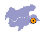
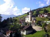
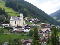
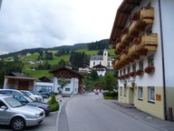
Image collection »Außervillgraten«
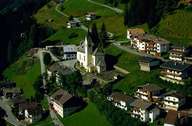
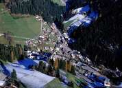
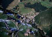
The centre of Außervillgraten is situated in a steep valley at the confluence of the Villgraten River and the Winkeltal River, 4 km from the Pustertal. On the steep slopes around the church, many new houses have been built within the last decades. Impressive isolated farmhouses with their roof ridge facing the valley characterize the steep slopes of the sunny sides of the two valleys. On the Versellerberg Mountain (sunny side of the Winkeltal) the accessible farmhouses can be found up to an elevation of 1700 m above sea level. The constitution of the ski lift up the Thurnatler Mountain (summit southwest of Außervillgraten) has only had a modest impulse on local tourism. The farming sector has lost its traditional role and jobs are limited in Außervillgraten.
|
|
|
|
|
|
|
