Image collection »Assling«
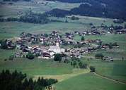
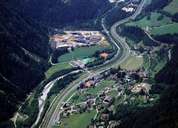
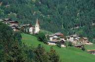
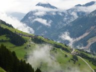
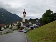
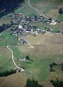
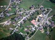
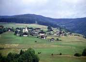
The village of Assling is situated on either side of the Pustertal in East Tyrol. It extends from the steep, uninhabited slopes of the Lienzer Dolomites Mountain Range to the sunny side of the valley. The centre of Assling, together with a number of hamlets and small villages, is situated along the Pustertaler Höhenstraße Road on gentle slopes and terraces. Unterlassing is the community and residential centre of the village. In the narrow valley of the Drau River only two fast growing settlements belonging to Assling are to be found: Mittewald that forms together with Anras one big agglomeration and the train station Thal. Assling, formerly known as the granary of East Tyrol, has managed to attract several enterprises. Still, many people in Assling are commuting to the nearby district capital of Lienz.
|
|
|
|
|
|
|
|
|
|