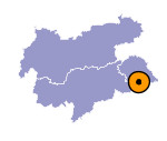
Image collection »Anras«
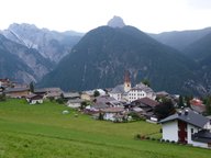
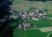
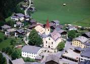
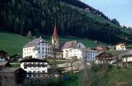
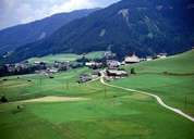
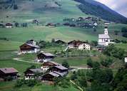
Anras lies on both sides of the Pustertal in East Tyrol. It extends from the steep, uninhabited slopes of the Lienzer Dolomites Mountain Range to the inhabited sunny side of the valley. Erlbrück (which forms together with Abfaltersbach an agglomeration), Margarethenbrücke, and the train station of Mittewald in the narrow valley face the villages on the sunny terrace of the Pustertal. These villages include the scattered settlements of Asch and Anras, as well as some other small villages and hamlets which can be reached on the Pustertaler Höhenstraße Road. Within the last decades Anras has taken an increase in population and housing developments. Today some remaining granaries show the former importance of the grain farming in this area.
|
|
|
|
|
|
|
