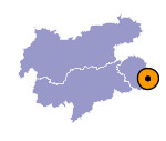
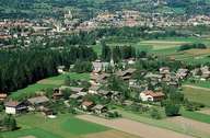
Image collection »Amlach«
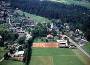
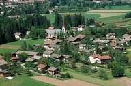
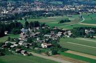
Amlach, at the foot of the forested Rauchkogel Mountain, is situated at the southern edge of the Lienzer Basin, close to the Lienzer Dolomites Mountain Range. The village consists of the long stretched settlement of Amlach and the hamlet of Ulrichsbichl in the east. Amlach, far from the main road, has managed to preserve its small, quiet, rural character by far the best from all villages within the Lienzer Basin. An increase in population figures and developments has been limited and so Amlach is still characterized by rural farming life.
|
|
|
|
|
|
