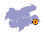
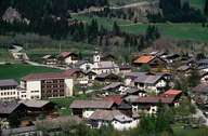
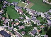
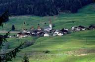
Image collection »Abfaltersbach«
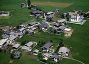
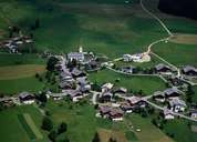
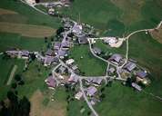
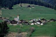
The village of Abfaltersbach, which consists of several settlements, is situated on the fan of the Heisinger Höhe River that narrows the river bed of the Drau River. The centre (locally called "Walde") is to be found west of the Erl River, which runs along the community boundary. By building the bypass in the year 2000, the quality of life in Abfaltersbach has improved. The village of Geselhaus is situated west of the bypass on the way up to the "Heisinger Höhe". The main road and railway tracks run through Geselhaus. The hamlet of Einöd is situated above Geselhaus. The oldest part of the village is Abfaltersbach on the sunny side of the valley with its striking church steeple.
|
|
|
|
|
|
|
|
