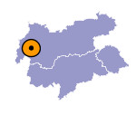
Image collection »Tobadill«
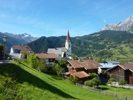
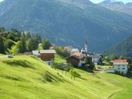
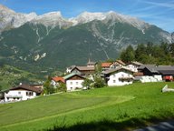
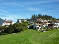
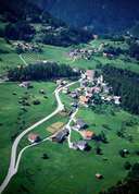
Tobadill stretches along a small terrace 200 m above Pians, from which it became administratively independent in 1949. Tobadill with its hamlets and isolated farmhouses is one of the poorest villages in North Tyrol. In former times minerals were quarried in the area around Flath. Today people in Tobadill have to commute. There are hardly any companies located in the village and agriculture does not play an important role as well. There are problems with the supply of daily consumer goods in the village. Castle Wiesburg was built above the confluence of the Rosanna and Trisanna River.
|
|
|
|
|
|
