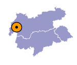
Image collection »Strengen«
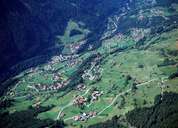
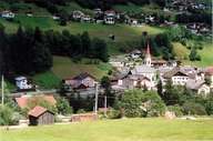
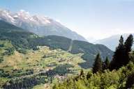
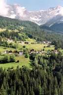
Most of Strengen with its numerous hamlets is situated on the northern slopes of the lower Stanzertal. The central settlement with its well preserved rural character and the parish church is characterized by the traffic passing through on the route to the Arlberg. One tries to relief the village from this strain by building a tunnelled bypass linked with the Arlberg motorway. By getting rid of most of the traffic, financially weak Strengen hopes to get a chance to redevelop and attract companies on new commercial space. Today most of the people have to commute. In the centre of Strengen an old wooden bridge from 1764 stretches over the Rosanna River.
|
|
|
|
|
|
|
|
