Image collection »See«
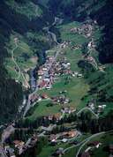
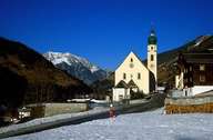
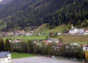
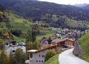
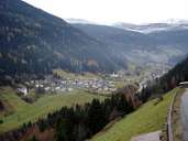
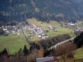
See is situated at the entrance of the Paznauntal. Similar to Kappl (further up the valley) See is also subdivided into numerous scattered hamlets. The village got its name from a lake, which was located in this wide part of the valley till the late Middle Ages. The area around the lake was settled from Serfaus and Fiss and therefore belonged to the parish of Serfaus for a long time. Farmers from the villages on the Sonnenterrasse Plateau still have the right to let their livestock graze on pastures in See. Every summer livestock is sent on the pasture lands in the Paznaun.
|
|
|
|
|
|
|