Tirol Atlas Archive

tiroLexikon

^UP

Image collection »Kappl«

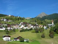
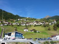
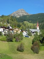
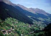
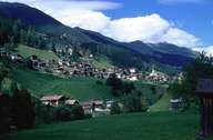
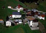
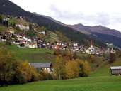
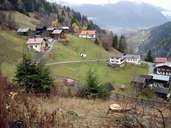
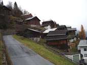
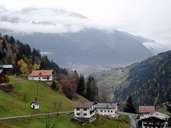
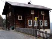
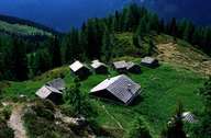
Kappl in the centre of the Paznauntal is situated between the mountain ranges of the Verwallgruppe in the north and the Samnaungruppe in the south. In contrast to its neighbouring village of See, Kappl was settled by settlers from the Stanzertal in the north. The village of Kapple encompasses the main village of Kappl and more than 50 hamlets, situated along the Trisanna River in the valley and on the steep slopes in the south. Like nearby Ischgl, Kappl's economy is based on tourism.

Tirol Atlas image No.°11781
en:Kappl
Tirol Atlas image No.°11782
en:Kappl
Tirol Atlas image No.°11783
en:Kappl
Tirol Atlas image No.°5776
Kappl
Tirol Atlas image No.°1892
Kappl, center
Tirol Atlas image No.°5775
Langenthei, Kappl
Tirol Atlas image No.°7704
Kappl
Tirol Atlas image No.°8502
Rauth, Glitterberg
Tirol Atlas image No.°8484
Glitt, Glitterberg
Tirol Atlas image No.°8480
Sanna - valley and Grins
Tirol Atlas image No.°8519
Volksschule Glitterberg
Tirol Atlas image No.°1146
Pasture land
Overview map
Topographic map
   
Further links: Hazards Chronicle Tyrol, Weblink »Kappl«, Weblink »Wikipedia«, tiroLexikon