Image collection »Ischgl«
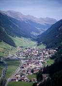
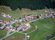
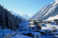
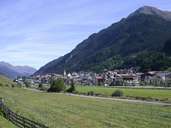
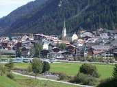
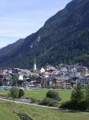
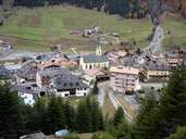
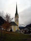
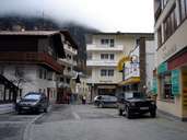
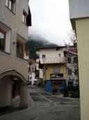
Ischgl, the centre of the Paznauntal, lies on an altitude of nearly 1400 m. It is surrounded by the mountain ridges of the Samnaun-, Verwall- and Silvrettagruppe Mountain range. The village lies at the border to the Swiss duty-free zone of Samnaun with which Ischgl shares the skiing area of the Idalpe. Today the formerly strong economic bounds with Switzerland can still be found. Ischgl is situated on the fan of the Fimber Torrent. Originally a compact scattered village, Ischgl has changed its appearance drastically into one of Tyrol's tourism strongholds with hotels. Ischgl gets most of its revenues from winter tourism. Further up the valley the hamlet of Mathon with its old farm houses belongs to Ischgl.
|
|
|
|
|
|
|
|
|
|
|