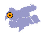
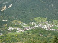
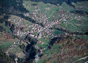
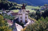
Image collection »Grins«
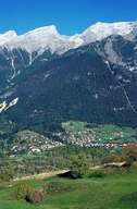
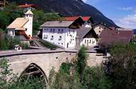
The village of Grins is situated on a fertile, green terrace high above the Sanna Valley northwest of the district capital of Landeck. Because of its climate, the area around Grins has already been inhabited since 2000 B.C. - as excavations show. In the Middle Ages Grins was an important stop for travellers over the Arlberg Pass. Later a road was built in the bottom of the valley. Grins used to be a compact village typical for western Tyrol till 1945 when a big fire destroyed most of it. Parts of it were then rebuilt according to the original plans. A famous sight is the "Römerbrücke" Bridge from the 16th century over the gorge of the Mühl Torrent.
|
|
|
|
|
|
|
