Image collection »Galtür«
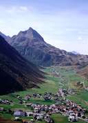
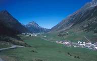
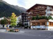
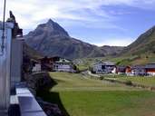
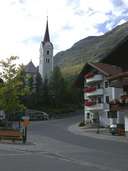
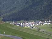
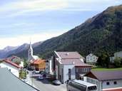
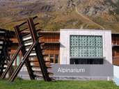
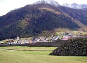
Galtür is situated in the central Paznauntal. The Silvretta Mountain Range with numerous mountain summits above 3000 m, give the village a high alpine character. From the second half of the 20th century the former farming community of Galtür has developed into a centre of tourism. A significant impetus was given when the Silvretta Hochalpenstraße Road was opened in 1953 coalescing the Montafon with the Paznauntal. Galtür gained tragic fame when it was hit by an avalanche in 1999. This tragedy has directly led to the intensification of short- and long-term means of avalanche protection. The "Alpinarium" (combining an avalanche barrier and a multi functional information centre in one building) in Galtür is considered as a positive impulse for the future of the village.
|
|
|
|
|
|
|
|
|
|