Tirol Atlas Archive

tiroLexikon

^UP

Image collection »Wildschönau«

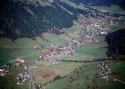
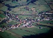
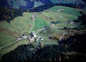
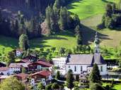
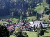
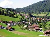
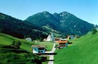
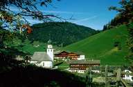
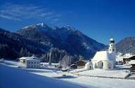
The 24 km long high valley of Wildschönau is the centre of tourism in the district of Kufstein. Wildschönau is subdivided into numerous isolated farmhouses and four villages on the slopes: Thierbach, Auffach, Niederau and Oberau, the administrative centre of Wildschönau. The gentle slopes of the Kitzbüheler Grasberge Mountains provide the ideal basis for tourism, intensive agriculture and timber industry. There are still 200 farms in Wildschönau. Due to rich ore deposits, mining was long very prosperous in the valley. In the Kundler Gorge, with the Wildschönauer Ache River, gold was found.

Tirol Atlas image No.°6072
Oberau, district of Wildschönau
Tirol Atlas image No.°6073
Niederau, district of Wildschönau
Tirol Atlas image No.°6071
Thierbach, district of Wildschönau
Tirol Atlas image No.°4594
Oberau, district of Wildschönau
Tirol Atlas image No.°4593
Center of the district Oberau, Wildschönau
Tirol Atlas image No.°4595
Wildschönau
Tirol Atlas image No.°5252
Thierbach, district of Wildschönau
Tirol Atlas image No.°5251
Thierbach, district of Wildschönau
Tirol Atlas image No.°4944
Thierbach, Wildschönau in winter
Tirol Atlas image No.°9662
Oberau
Overview map
Topographic map
 
Further links: Hazards Chronicle Tyrol, Weblink »Wikipedia«, Weblink »Wildschönau«, tiroLexikon