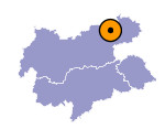
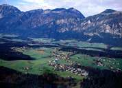
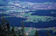
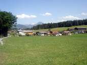
Image collection »Angerberg«
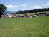
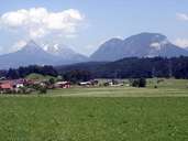
Angerberg stretches over an 18 km long terrace between the two rivers of the Kramsacher Ache and Niederbreitenbach in the Unterinntal region. Angerberg consist of formerly scattered hamlets and isolated farms. In 1190 Angerberg was mentioned in a document for the first time. Today Angerberg with its rural character attracts more and more people who move there, altering the shape of the settlement significantly. One attraction is the Hundalm Ice Cage, which was formed in the carst of the Wetterstein Massif during the first Alpine ice age.
|
|
|
|
|
|
