Image collection »Schwoich«
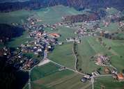
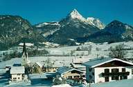
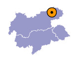
Schwoich and neighbouring Bad Häring are situated on a gravel terrace of the Inn River, which stretches between Wörgl and Kufstein 150 m above the bottom of the valley. Numerous hamlets and isolated farmhouses characterize the village. Schwoich is a popular residential area, due to the fact that it is located away from the main roads and its proximity to Kufstein. New developments have led to a significant growth of the village within the last decades. In Eiberg, which also belongs to Schwoich, marl was mined from the mid - 19th century till only recently and was later processed in the cement factory in Eiberg.

|

|
|
