Image collection »Radfeld«
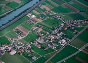
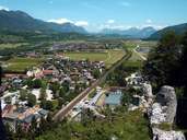
Radfeld - a typical ribbon development - starts at the city walls of Rattenberg. Impressive farmhouses and numerous new houses follow the more than 2 km long road. New developments have also been built away from the road. Radfeld, which is situated between the highway and the railroadpopulation, has tripled within the last 50 years. Some decades ago people lived from agriculture and tourism. Today more than 1000 people from Radfeld and its surroundings work for one of the 80 new developed companies, including one high-tech company. The transport sector plays an important role in Radfeld.

|

|
|
