Image collection »Kramsach«
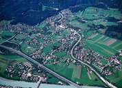
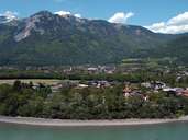
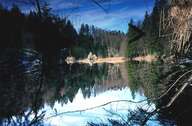
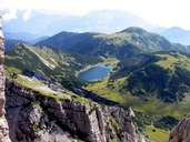
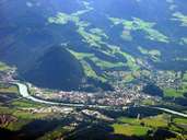
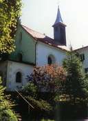
Kramsach is situated at the entrance of the Brandenberger Tal in the Unterinntal region. Constant immigration movements have turned Kramsach into an expanding village. Till 1966 the Brandenberg Ache River, which runs through the middle of the village, was used for rafting timber for the smelting works in Brixlegg. Kramsach used to have a glass factory. Today a technical school for glass related jobs is situated here. The open air museum for Tyrolean farmhouses and the numerous lakes (some of these are pingos in the north-eastern terrace landscape) are the main tourist attractions. The white and red Kramsacher marble is mined within the deposit area of the Pletzachkogel Land Slide in the hamlet of Hagau. This marble is used in nearby churches.
|
|
|
|
|
|
|
|