Image collection »Ellmau«
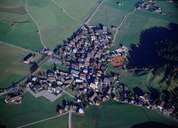
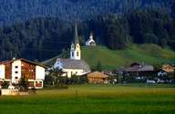
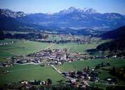
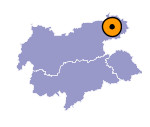
In 1155 Ellmau was first mentioned in a document. Ellmau stretches over the entire Ellmau Saddle, which is the watershed between the rivers Inn and Großache. Since the building of the Hartkaser cable car in 1972 the former small farming community has become one of the most important tourist places in the region. By connecting the skiing area of the Wilder Kaiser-Brixental area with Ellmau, Tyrol's largest connected skiing area was established. Today more than 100.000 people can be brought up the mountain every hour. Tourism has had a great impact on the expanding village of Ellmau.

|

|

|
|
