Image collection »Kitzbühel«
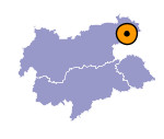
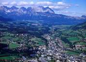
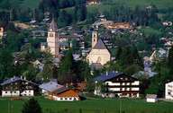
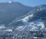
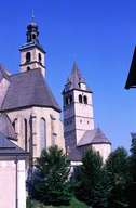
Kitzbühel (736 m), the capital city of the district bearing the same name, was given the town charter in 1271. Kitzbühel still has its oval-shaped historical medieval town centre. Kitzbühel has its origin in pre-Christian times as a mining village (copper and silver) and had its heyday in the 16th century. The homes of the former miners and granaries dating back to this time still can be found. Kitzbühel's geographical position at the junction between the Brixental and the Leukental and on the road to Pass-Thurn Pass made it an important traffic junction. Since the building of the railroad in 1875, Kitzbühel has become one of the most important and most famous tourist centres with one of the highest proportions in second homes in the Tyrol. Every year the well known skiing competition on the Hahnenkamm Mountain takes place.
|
|
|
|
|
|
