Image collection »Kitzbühel«
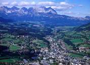
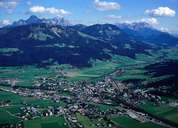
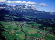
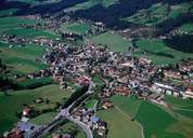
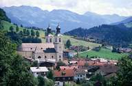
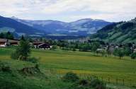
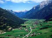
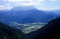
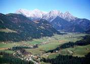
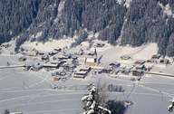
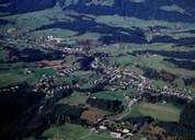
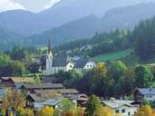
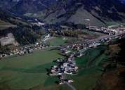
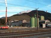
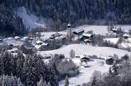
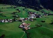
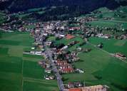
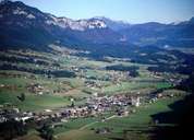
The district of Kitzbühel, away from the Inntal in a peripheral location, is made up, above all, of three big valleys: the Leukental, the Brixental and the Pillerseetal. Characteristic are the gentle forms of the Kitzbühler Alpen that lend themselves particularly to hiking and skiing and which have been responsible for an increase in tourism in the entire district, so that tourism has become one of the most important economic factors. Apart from small areas of silo maize cultivation in the St. Johann Becken, permanent pasture farming characterises the scenery. Apart from the main district town of Kitzbühel, the aspiring town of St. Johann also has a central function, for example, among other things, the district hospital is located here. Further settlement and employment centres are Hopfgarten, Kirchberg, Fieberbrunn and Kössen. Big industrial firms such as the chipboard works Egger in St. Johann, Gebro in Fieberbrunn and the magnasite works in Hochfilzen are of economic importance.
|
|
|
|
|
|
|
|
|
|
|
|
|
|
|
|
|
|
|
|
|
|