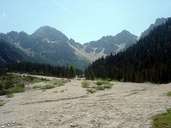
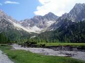
Image collection »Zirl«
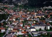
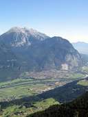
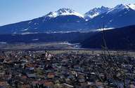
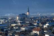
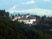
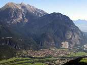
The market town of Zirl, which was first mentioned in a document in 799, is subdivided into the expanding scattered village of Zirl, situated on the fan of the Schloß Torrent close to the provincial capital of Innsbruck, the settlements of Dirschenbach, Eigenhofen, Martinsbühel and Hochzirl with the provincial hospital 300 m above Zirl. The microclimate with a great amount of sunshine and fertile soils make winegrowing possible. This form of agriculture, however, has lost its importance similar to the great number of small farmers who bred goats ("Zirler Goaßer") in Zirl. Zirl has always been an important traffic junction between the Inntal and Seefeld over the Zirlerberg Mountain. Castle Fragenstein was built to protect the road.
|
|
|
|
|
|
|

|
|
|
|
|