Image collection »Thaur«
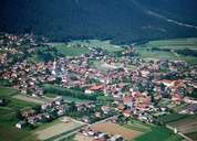
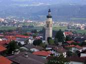
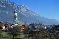
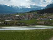
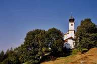
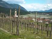
The scattered village of Thaur is situated at the eastern foot of the Nordkette Mountain Range near the provincial capital of Innsbruck. The rural centre has been preserved, even though numerous recent developments and new settlements have been built. Preserving the centre and keeping old traditions alive is very important in Thaur. Thaur is architecturally characterized by the so called "Mittertennhöfe" farmhouses, which are typical for this region, with their richly decorated gables and large entrances. Thaur is the centre of intensive market gardening between Innsbruck and Hall. Vegetables are sold outside the province. South of the village an industrial park provides a great number of Jobs for the popular suburb of Innsbruck.
|
|
|
|
|
|
|