Image collection »Telfs«
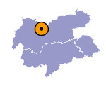
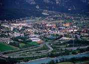
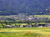
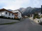
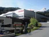
The market town of Telfs is situated 27 km west of Innsbruck in a basin-like wide gap within the Inntal. Telfs, the most populous settlement in the Oberinntal, is located at the western fringe of the political district of Innsbruck-Land. Due to its over dimensional expansion, Telfs has become the third largest municipality of Land Tyrol. Situated at an important intersection (Inntal, Fernpass, Seefelder Depression), Telfs has long been a market centre and reloading point for goods. Next to the compact centre of the market town, new housing estates have developed at the foot of the Hohe Munde Mountain. Telfs was once a centre of the textile industry in this region. The factory building of the cotton spinner company Jenny&Schindler has remained as a striking example from this epoch.
|
|
|
|
|
|
|
|
