Image collection »Hall i.T.«
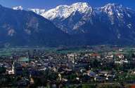
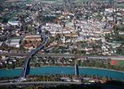
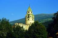
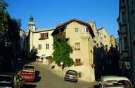
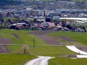
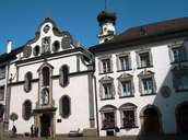
The well known town of Hall with its many towers ist situated in front of the Bettelwurf Mountain 10 km east of Innsbruck. The largest medieval historical centre in the Tyrol is an excellent architectural example of the type of towns to be found along the rivers Inn and Salzach. The beautiful small town has undergone excellent revitalisation and renovation of its centre. Hall got its town charter in 1303 and has become an important commercial centre. The name Hall indicates the salt mining which lasted till 1967. Hall was also important for its mint, the bateau shipping on the Inn River, the imposing of customs and its markets. Today, Hall with its small and medium-sized businesses, well known factories, the centre for logistics and two hospitals attracts many commuters. Schönegg in the east is the most growing part of the town.
|
|
|
|
|
|
|