Image collection »Sistrans«
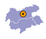
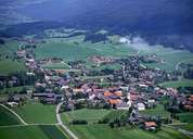
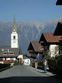
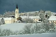
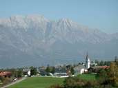
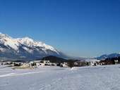
Sistrans, east of Lans, is situated on an ice-age terrace southeast of Innsbruck. Sistrans with its rural centre belongs to the political district of Innsbruck-Land. Today, the former scattered farming village, is an expanding suburb of nearby Innsbruck. The unique "Sisriger Bannzaun", a 600 m long dry stone wall with a great number of different shrubs and groves, forms the border to neighbouring Aldrans.
|
|
|
|
|
|
