Image collection »Sellrain«
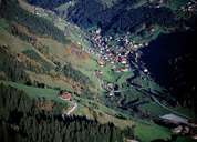
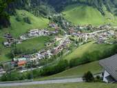
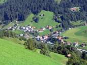
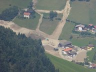
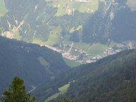
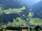
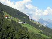
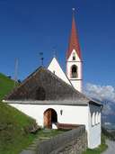
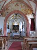
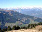
Sellrain is the central village in the Sellrain high-mountain valley. It is situated at the foot of the Windegg Mountain in the northern Stubaier Alps in the district of Innsbruck. Sellrain is subdivided into numerous, widely scattered hamlets. The village encompasses the Sonnenberg and the entire Fotschertal. The centre stretches along the Melach River from Rothenbrunn (Unterdorf) till the two settlements of Ellmau and Hintern Schrofen (Oberdorf). The 36 bridges linking nine settlements of Sellrain are of special cultural-geographic interest. The church of St. Quirin (a.k.a. St. Krein) is the most important sight of the "Peter-Jordan settlement" and is located on a steep and sunny slope.
|
|
|
|
|
|
|
|
|
|
|