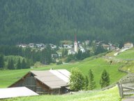
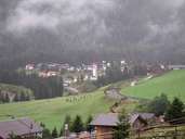
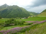
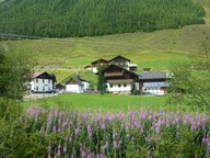
Image collection »St.Sigmund i.S.«
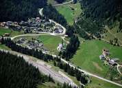
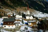
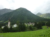
St. Sigmund im Sellrain is the hindmost and largest village in the Sellraintal. It is furthermore the highest settlement in the district of Innsbruck-Land with the lowest population. The village is divided into two parts, including Obertal (Kreuzlehn till Haggen) with the valleys of Gleirsch and Kraspes. Even though Untertal (Kniepiss - Praxmar - Lüsens) can only be reached from Gries im Sellrain, it forms a geographical unit with St. Sigmund from a historical point of view. St. Sigmund with its low population density was hit hard by devastating avalanches in 1817 and 1970. That was the reason why the hamlet of Alt-Peida was rebuilt around the parish church between 1971 and 1972 and is now called "Neu-Peida".
|
|
|
|
|
|
|
|