Image collection »Reith b.S.«
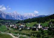
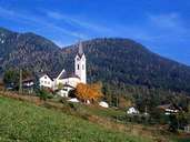
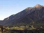
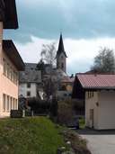
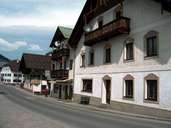
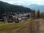
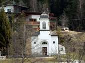
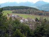
Coming from the Zirlerberg, Reith is the first village on the southern end of the Seefeld Plateau and is situated at the foot of the Reither Peak. The medieval name "Reith" means an open space, which was cleared from forest. Beautiful pastures with larches have remained till today. The village is subdivided into the settlements of Auland, Gschwandt, Krinz, Leithen, Mühlberg and the scattered village of Reith. Johann Wolfgang von Goethe praised Reith's beautiful setting and the panoramic view at the Stubaier Alps and the Inntal. Today Reith gains its income from tourism. In a small ichthyol mine oil is refined out of oil slate.
|
|
|
|
|
|
|
|
|
|