Image collection »Pettnau«
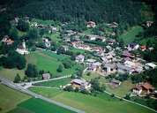
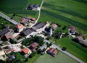
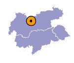
Pettnau stretches on the left side of the Inn River between Zirl and Telfs. Famous old guesthouses along the road show the former importance of Pettnau as a centre for transportation. The hamlets belonging to Pettnau are all situated at the foot of the mountain slope. Before the construction of a dam (1941/42) the valley bottom had not been settled due to recurring flooding. The parish was already mentioned in a document in 1090. The former hamlet of Leiblfing has become a popular residential area. Leiblfing's parish church with its high, onion-shaped steeple is one of the most photographed buildings in the Tyrol.

|

|
|
