Image collection »Neustift i.St.«
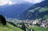
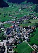
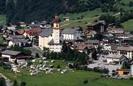
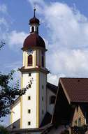
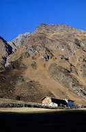
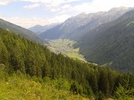
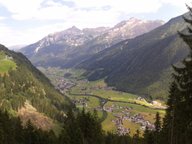
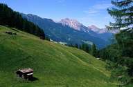
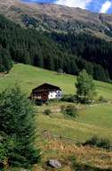
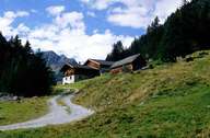
With its 249 km² Neustift im Stubaital is Austria's third largest village and has the highest population in the entire valley. Neustift is subdivided into numerous villages and new developments. Due to the constant hazard of avalanches and land slides their accessibility is often very difficult. At the end of the valley, Mutterbergalm (1720 m) is the station at the bottom of the Stubaier Gletscherbahnen, which make glacier skiing all year round possible. Neustift has long been a centre for alpinism and a starting point for numerous tours into the high-alpine regions and glaciers of the Stubaier Alps. The importance of tourism is reflected in the architecture of the houses in Neustift.
|
|
|
|
|
|
|
|
|
|
|