Image collection »Navis«
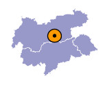
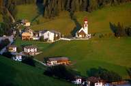
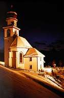
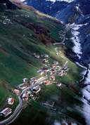
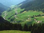
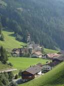
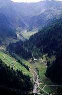
Belonging to the political district of Innsbruck-Land, Navis encompasses the entire Navistal, which starts in the northern Wipptal at Matrei am Brenner. Navis is subdivided into three historical settlement units, the so called "Riegate": Außerweg, Oberweg, and Unterweg. The impressive ruin of Aufenstein Castle is situated at the entrance of the valley and belongs to Matrei. The village is characterized by isolated farmhouses. The only exceptions are the hamlet of Kopfers and the settlement of Spöcke near the parish church of Navis, which was rebuilt by the famous architect Clemens Holzmeister in the 1970's. Navis is subdivided into eleven settlements in which each farmer has a usufruct of the forest belonging to the settlement.
|
|
|
|
|
|
|
