Image collection »Natters«
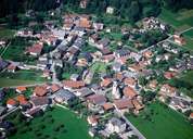
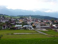
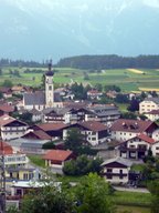
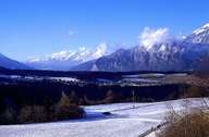
Natters is situated in a small hollow in the western part of the terrace south of Innsbruck. South of the compact rural centre a steep incline forms the natural border to neighbouring Mutters. Due to the proximity to Innsbruck, several new developments have been built within the last years. Neu-Natters, which was completely isolated from the rest of the village only some decades ago, has been linked with the centre in the south since the population has increased. The boggy Natterer Lake, which is a popular recreation area, can be reached on a road through the dry valley of Seifens west of the village.
|
|
|
|
|
|