Image collection »Mutters«
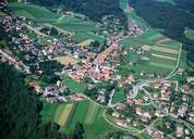
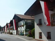
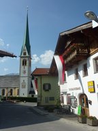
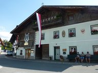
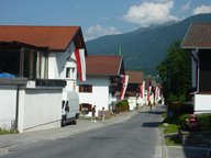
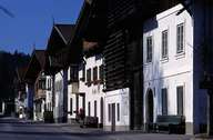
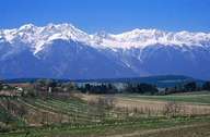
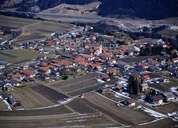
Mutters, situated 6 km south of Innsbruck, is situated on a terrace in the Mittelgebirge region, above the Inntal and at the foot of the Nockspitze Mountain. The village encompasses the scattered village centre, with many typical "Mittertennhäuser" houses, several isolated farmhouses and hamlets, including Kreith at the entrance to the Stubaital, which was politically independent till 1974. Mutters and Innsbruck are connected with the Stubaitalbahn Tramway, which made Mutters with the recreation area of the Mutterer Alm a popular destination for people from Innsbruck. Today Mutters is a suburb of Innsbruck with a high proportion of commuters and new settlements.
|
|
|
|
|
|
|
|
|
|