Image collection »Leutasch«
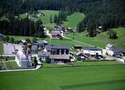
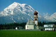
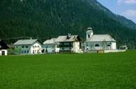
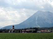
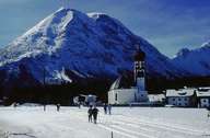
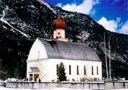
Leutasch is situated on the foot of the Wettersteingebirge Mountain Range and encompasses the 16 km long Leutaschtal. In the south Leutasch reaches till the Hohe Munde Mountain and in the north till the so called "Klamm". The village consists of Ober- and Unterleutasch, which include 24 smaller and larger hamlets, from which Kirchplatzl, with the seat of the local authority, is the most important one. Till the mid-20th century people in Leutasch gained their income from agriculture. Today Leutasch has a population of about 2000 and more than 5000 guest beds. These figures clearly indicate the importance of tourism in the village today and must be considered when one sees the modern developments in Leutasch.
|
|
|
|
|
|
|