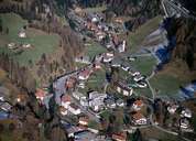
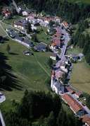
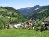
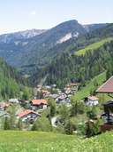
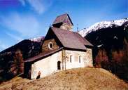
Image collection »Gries a.B.«
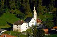
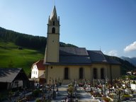
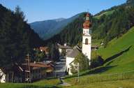
In the south the village of Gries reaches the 1919 established border at the Brenner Pass. The scattered village of Gries is situated at the place where the Obernbergtal joins the Wipptal. In Gries guesthouses - rich in tradition - remind the visitor on the former importance of Gries being the last stop before one reaches the northern incline to the lowest lying mountain pass in the Alps. Today the main road goes over the Brenner Motorway that stretches over the Obernbergtal west of Gries. Other parts of Gries include hamlets and detached farmhouses at the entrance to the Obernbergtal and the Nösslach Plateau on the western slopes of the Wipptal. Lueg, south of the centre, used to be an important custom stop in the Middle Ages.
