Image collection »Aldrans«
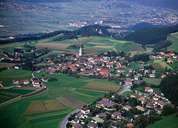
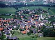
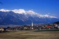
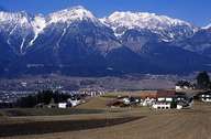
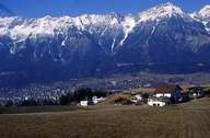
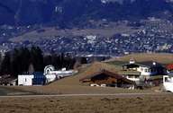
Aldrans lies on the terraces (Mittelgebirge) southeast of Innsbruck and belongs to the political district of Innsbruck-Land. The scattered village of Aldrans with its striking church steeple is situated along the Salzstraße Road, on a terrace characterized by numerous dry valleys. In 1893 a devastating fire destroyed nearly all buildings in the centre. That is the reason why hardly any old building can be found there today. There are several hamlets that belong to the village of Aldrans: Rans, Prockenhöfe and Wiesenhöfe. Lake Herz in the Herzsee Valley lies southeast of Aldrans. Within the last decades new developments have been built which transformed Aldrans into a commuter suburb of Innsbruck.
|
|
|

|
|
|
|
|