Image collection »Innsbruck-Land«
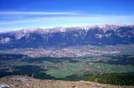
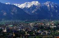
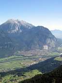
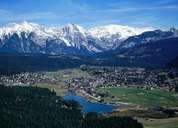
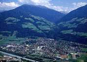
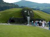
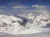
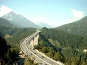
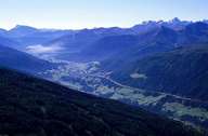
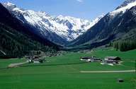
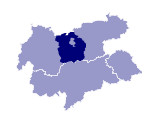
Innsbruck-Land is the district with the highest population in Tyrol. It includes the provincial capital, Innsbruck, where the administrative institutions are also located. The district court and hospital are in Hall, and a further important town is Telfs. The population in the district has increased dramatically over the last few years and the most densely populated region in Tyrol has developed along the River Inn. Numerous industrial companies such as Swarovski in Wattens, Darbo in Stans, Thöni Industriebetriebe in Telfs or the Stubai Werkzeugindustrie tool production with its head office in Fulpmes offer attractive jobs and have drawn people in from the neighbouring districts. The biggest valleys in the district are the Wipptal, the Stubaital and the Sellraintal. The biggest skiing areas are to be found on the Stubaier Gletscher and in the Axamer Lizum. Seefeld is a famous winter sports resort and cross-country skiing centre.
