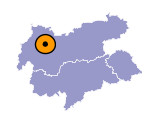
Image collection »Tarrenz«
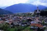
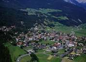
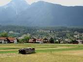
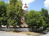
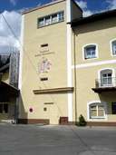
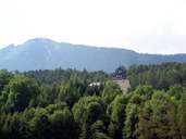
Tarrenz is situated north of Imst in the Gurgeltal, the congested connection to the Fern Pass. Besides the centre, the village encompasses several hamlets with a significant number of new developments. The central part of the village is a typical compact scattered village in a West-Tyrolean style with characteristic farmhouses. In former times the House of Starkenberg controlled the village. Today the name is still to be found in the name of the privately owned brewery in Castle Starkenberg. The brewery is the most important employer in Tarrenz. After the decline of the mining industry and iron plants along the Salvesen River in the 18th century, people gained their living from the breeding and selling of singing birds. Today many people in Tarrenz have to commute. Farming, especially sheep breeding, is still important, which is best reflected in the so called "Schafschied" feast in autumn. Tourism also plays some role in Tarrenz.
|
|
|
|
|
|
|
