Image collection »Sölden«
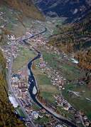
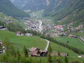
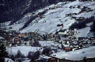
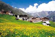
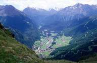
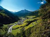
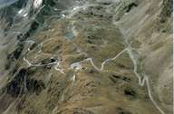
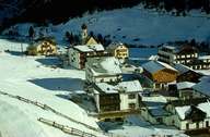
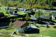
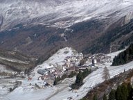
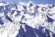
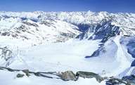
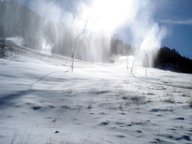
Sölden, Austria's largest village with a surface area of 467 km², is situated in the upper Ötztal at the entrances to the Gurgl- and Venter Tal. Since the construction of numerous ski lifts and the development of areas for glacier skiing on the Rettenbach- and Tiefenbachferner Glacier, Sölden with its numerous villages has changed completely: more than 2 million overnight stays and 15,000 guest beds make Sölden the largest skiing area in the Tyrol. Most of the hotels are to be found in the central village of Sölden, Obergurgl and the purely hotel settlements of Hochsölden and Hochgurgl. Vent (1921 m), a quiet village popular among mountain climbers, stands in contrast to this. The Rofenhöfe (2011 m) belong to the highest farmhouses in the East-Alps.
|
|
|
|
|
|
|
|
|
|
|
|
|
|
|