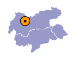
Image collection »Silz«
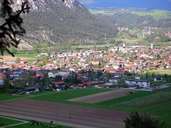
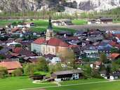
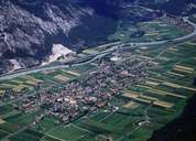
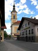
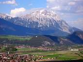
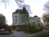
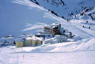
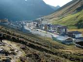
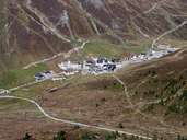
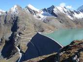
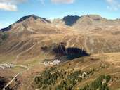
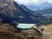
Silz is situated on the southern bank of the Inn River in the Oberinntal at the foot of its sight Castle Petersberg. With its circuit court and the seat of a deanery, Silz is responsible for some villages in the Inntal and the entire Ötztal. The long stretched village with some worth seeing buildings was first mentioned in a document in 1090. Today Silz is expanding very fast. After the decline of the textile sector, the main source of income is tourism. The skiing area of Kühtai, at an altitude of 2000 m above sea level, is assured of snow. The Sellrain-Silz electric power company is located in Silz. The company includes the power stations Silz and Kühtai, as well as the reservoirs of Finstertal and Längental, which are connected with each other by ducts and tunnels. In the mid 19th century emigrants founded the Tyrolean village of Pozuzo in Peru.
