Image collection »Roppen«
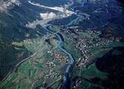
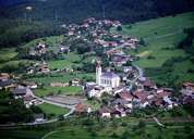
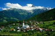
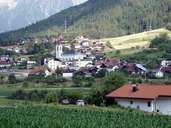
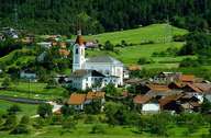
Most of the scattered village of Roppen is situated within the depositional area of the landslide of Mount Tschirgant between the main road and the entrance to the Pitz- and Ötztal. The bigger and older part of the village is situated to the right of the Inn River, that is crossed by a wooden, previous toll bridge. On the partly unproductive ground near the highway tunnel, several business enterprises have been established within the last decades, causing an economic boom in the once poorest village of the district of Imst. The constructions of the association for waste disposal in the West-Tyrol (such as a landfill, a biogas plant, and a collecting point for compost) were built at the foot of Mount Tschirgant.
|
|
|
|
|
|