Image collection »Obsteig«
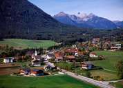
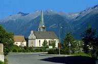
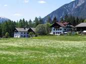
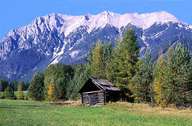
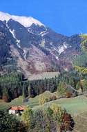
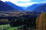
Obsteig is both the most western and the village at the highest altitude of the Mieminger Plateau. The Mieminger Plateau is a terrace north of the Inntal at the foot of the Mieminger Mountain Range, between Telfs and Holzleiten Saddle (1129 m), which can be reached from Obsteig. Obsteig is subdivided into several parts, from which some have been built only recently. The centre is divided by an all-too-broad road, which was originally built as a bypass. The pasture lands with their larches are rich in species. The entire area in and around Obsteig is popular among hikers and people seeking for a place for recreation all year round.
|
|
|
|
|
|
|
|